
Ngamboula topographic map
Interactive map
Click on the map to display elevation.
About this map
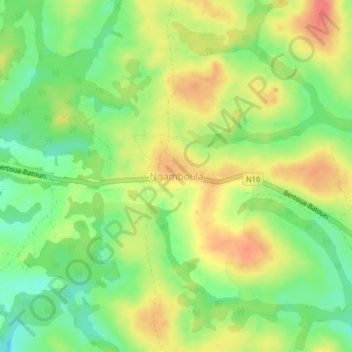
Name: Ngamboula topographic map, elevation, terrain.
Location: Ngamboula, Lom-et-Djérem, Est, Cameroun (4.54676 13.80884 4.58676 13.84884)
Average elevation: 2,221 ft
Minimum elevation: 2,129 ft
Maximum elevation: 2,313 ft