
Maala topographic map
Interactive map
Click on the map to display elevation.
About this map
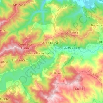
Name: Maala topographic map, elevation, terrain.
Location: Maala, Daïra Lakhdaria, Bouira, Algérie (36.44233 3.49333 36.54678 3.62060)
Average elevation: 1,467 ft
Minimum elevation: 410 ft
Maximum elevation: 2,815 ft