
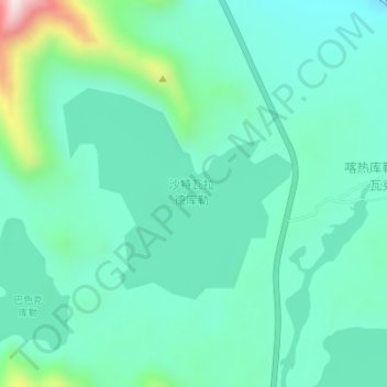
沙特瓦拉德库勒 topographic map
Interactive map
Click on the map to display elevation.
About this map
Name: 沙特瓦拉德库勒 topographic map, elevation, terrain.
Location: 沙特瓦拉德库勒, 喀热库勒能阿瓦克, 阿克陶县, 克孜勒苏柯尔克孜自治州, Xinjiang, Chine (38.46211 75.02952 38.47689 75.04998)
Average elevation: 12,028 ft
Minimum elevation: 11,696 ft
Maximum elevation: 13,261 ft