
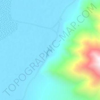
古娃 topographic map
Interactive map
Click on the map to display elevation.
About this map
Name: 古娃 topographic map, elevation, terrain.
Location: 古娃, 江嘎镇, 定结县, 日喀则市, 西藏自治区, 中国 (28.29200 87.87790 28.33200 87.91790)
Average elevation: 14,413 ft
Minimum elevation: 13,773 ft
Maximum elevation: 17,703 ft
Other topographic maps
Click on a map to view its topography, its elevation and its terrain.