
Fiscal topographic map
Interactive map
Click on the map to display elevation.
About this map
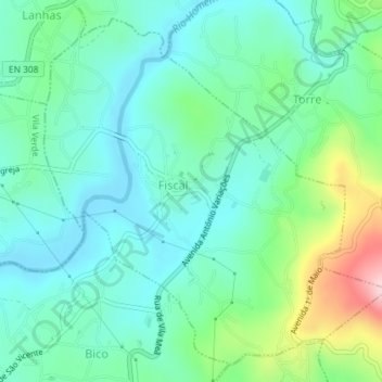
Name: Fiscal topographic map, elevation, terrain.
Location: Fiscal, Amares, Braga, Portugal (41.64110 -8.40813 41.66559 -8.37551)
Average elevation: 295 ft
Minimum elevation: 98 ft
Maximum elevation: 883 ft
Other topographic maps
Click on a map to view its topography, its elevation and its terrain.