
Monteagudo topographic map
Interactive map
Click on the map to display elevation.
About this map
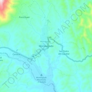
Name: Monteagudo topographic map, elevation, terrain.
Location: Monteagudo, Provincia Hernando Siles, CHQ, Bolivia (-19.84284 -63.99511 -19.76284 -63.91511)
Average elevation: 3,901 ft
Minimum elevation: 3,593 ft
Maximum elevation: 5,853 ft