Geolocate

Pag-asa topographic map

Click on the map to display elevation.

About this map

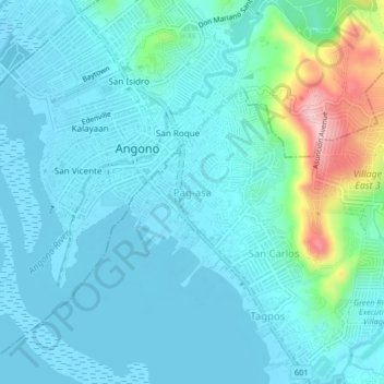
Name: Pag-asa topographic map, elevation, terrain.

Location: Pag-asa, Binangonan, Rizal, Calabarzon, 1930, Philippines (14.50124 121.13890 14.54124 121.17890)

Average elevation: 115 ft

Minimum elevation: -10 ft

Maximum elevation: 709 ft

Gear up for your next adventure:

🛠️Outdoor Gear Repair Kit - Essential tools to fix gear on the trail
⛑️Personal Locator Beacon - Safety beacon for emergencies
💧Water Purification System - Clean water on the trail with reliable purifiers
🪑Portable Camp Table - Compact table for campsite meals
👓Polarized Sunglasses - Outdoor sunglasses for glare reduction

As an Amazon Associate, this site earns from qualifying purchases at no extra cost to you.