
Bolney topographic map
Click on the map to display elevation.
About this map
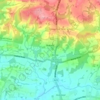
Name: Bolney topographic map, elevation, terrain.
Location: Bolney, Mid Sussex, West Sussex, England, United Kingdom (50.96832 -0.24202 51.01781 -0.17958)
Average elevation: 171 ft
Minimum elevation: 30 ft
Maximum elevation: 410 ft
Other topographic maps
Click on a map to view its topography, its elevation and its terrain.