
Straußfurt topographic map
Interactive map
Click on the map to display elevation.
About this map
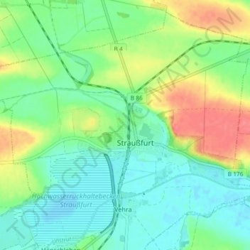
Name: Straußfurt topographic map, elevation, terrain.
Location: Straußfurt, Landkreis Sömmerda, Thüringen, 99634, Deutschland (51.14499 10.94925 51.18634 11.02224)
Average elevation: 531 ft
Minimum elevation: 463 ft
Maximum elevation: 659 ft