
Jumbilla topographic map
Interactive map
Click on the map to display elevation.
About this map
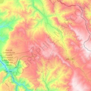
Name: Jumbilla topographic map, elevation, terrain.
Location: Jumbilla, Provincia de Bongará, Amazonas, Perú (-6.12391 -77.87877 -5.82357 -77.77210)
Average elevation: 8,698 ft
Minimum elevation: 4,583 ft
Maximum elevation: 12,211 ft