
Maldonado topographic map
Interactive map
Click on the map to display elevation.
About this map
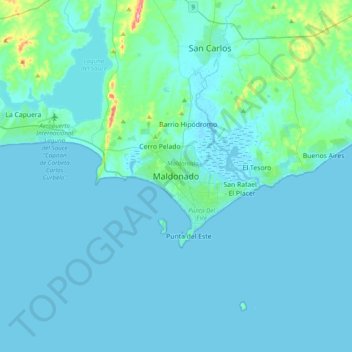
Name: Maldonado topographic map, elevation, terrain.
Location: Maldonado, 2000, Uruguai (-35.06872 -55.11827 -34.74872 -54.79827)
Average elevation: 43 ft
Minimum elevation: -10 ft
Maximum elevation: 587 ft