
La Farge topographic map
Interactive map
Click on the map to display elevation.
About this map
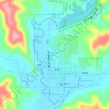
Name: La Farge topographic map, elevation, terrain.
Location: La Farge, Vernon County, Wisconsin, United States of America (43.56874 -90.64865 43.58903 -90.62381)
Average elevation: 889 ft
Minimum elevation: 784 ft
Maximum elevation: 1,214 ft