
Bondo topographic map
Interactive map
Click on the map to display elevation.
About this map
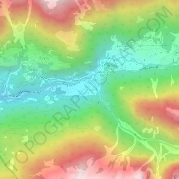
Name: Bondo topographic map, elevation, terrain.
Location: Bondo, Maloja, Grisons, 7606, Switzerland (46.31508 9.53439 46.35508 9.57439)
Average elevation: 4,242 ft
Minimum elevation: 2,411 ft
Maximum elevation: 6,742 ft