
San Ángel topographic map
Interactive map
Click on the map to display elevation.
About this map
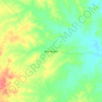
Name: San Ángel topographic map, elevation, terrain.
Location: San Ángel, Magdalena, Colombia (9.99114 -74.25433 10.07114 -74.17433)
Average elevation: 443 ft
Minimum elevation: 351 ft
Maximum elevation: 587 ft