
Vilvoorde topographic map
Interactive map
Click on the map to display elevation.
About this map
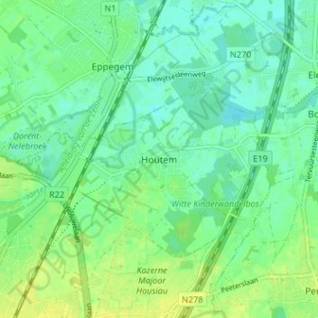
Name: Vilvoorde topographic map, elevation, terrain.
Location: Vilvoorde, Houtem, Brabant flamand, Flandre, 1804, Belgique (50.92969 4.44494 50.96969 4.48494)
Average elevation: 36 ft
Minimum elevation: 10 ft
Maximum elevation: 66 ft