
Thurn topographic map
Interactive map
Click on the map to display elevation.
About this map
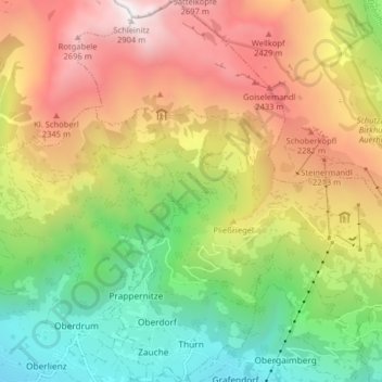
Name: Thurn topographic map, elevation, terrain.
Location: Thurn, Lienz, Tyrol, 9904, Austria (46.84305 12.73718 46.89788 12.79079)
Average elevation: 5,551 ft
Minimum elevation: 2,343 ft
Maximum elevation: 9,442 ft