
Uxmal topographic map
Interactive map
Click on the map to display elevation.
About this map
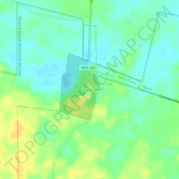
Name: Uxmal topographic map, elevation, terrain.
Location: Uxmal, San Isidro, Santa Elena, Yucatán, Mexico (20.34918 -89.78176 20.36918 -89.76176)
Average elevation: 167 ft
Minimum elevation: 131 ft
Maximum elevation: 213 ft