
Markaryds kommun topographic map
Interactive map
Click on the map to display elevation.
About this map
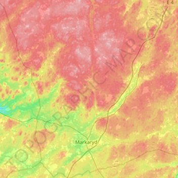
Name: Markaryds kommun topographic map, elevation, terrain.
Location: Markaryds kommun, Kronoberg County, Sweden (56.40387 13.39759 56.67740 13.82612)
Average elevation: 449 ft
Minimum elevation: 197 ft
Maximum elevation: 659 ft
Other topographic maps
Click on a map to view its topography, its elevation and its terrain.