
Unterreichenbach topographic map
Interactive map
Click on the map to display elevation.
About this map
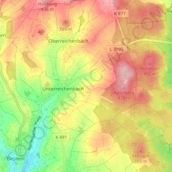
Name: Unterreichenbach topographic map, elevation, terrain.
Location: Unterreichenbach, Birstein, Main-Kinzig-Kreis, Hesse, Allemagne (50.35865 9.30443 50.38160 9.37035)
Average elevation: 1,152 ft
Minimum elevation: 869 ft
Maximum elevation: 1,378 ft