
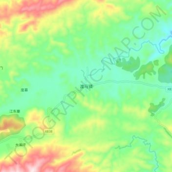
渡马镇 topographic map
Interactive map
Click on the map to display elevation.
About this map
Name: 渡马镇 topographic map, elevation, terrain.
Location: 渡马镇, 天柱县 / Tianzhu, 黔东南苗族侗族自治州, Guizhou, China (26.92606 109.29729 27.00606 109.37729)
Average elevation: 1,444 ft
Minimum elevation: 932 ft
Maximum elevation: 2,431 ft