
Chada topographic map
Interactive map
Click on the map to display elevation.
About this map
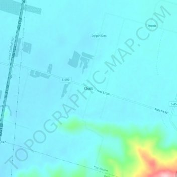
Name: Chada topographic map, elevation, terrain.
Location: Chada, Provincia de Cautín, Región de la Araucanía, Chile (-39.06692 -72.65997 -39.02692 -72.61997)
Average elevation: 361 ft
Minimum elevation: 292 ft
Maximum elevation: 958 ft