
Moulay Slissen District topographic map
Interactive map
Click on the map to display elevation.
About this map
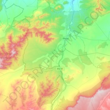
Name: Moulay Slissen District topographic map, elevation, terrain.
Location: Moulay Slissen District, Sidi Bel Abbès, Algeria (34.63628 -0.89268 34.92132 -0.59014)
Average elevation: 3,232 ft
Minimum elevation: 2,300 ft
Maximum elevation: 4,793 ft