
Bikita topographic map
Interactive map
Click on the map to display elevation.
About this map
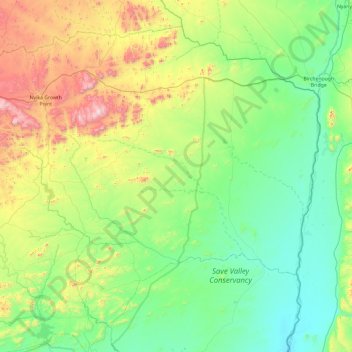
Name: Bikita topographic map, elevation, terrain.
Location: Bikita, Masvingo, Zimbabwe (-20.58044 31.39465 -19.82239 32.34529)
Average elevation: 2,234 ft
Minimum elevation: 1,329 ft
Maximum elevation: 5,016 ft