
Nyala topographic map
Interactive map
Click on the map to display elevation.
About this map
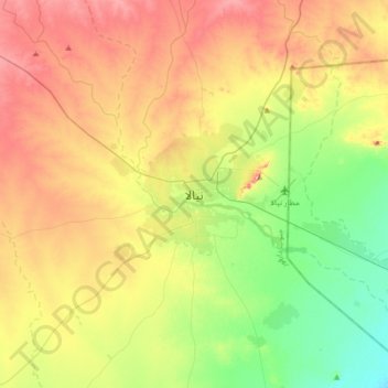
Name: Nyala topographic map, elevation, terrain.
Location: Nyala, نيالا, Süd-Darfur, Sudan (11.89051 24.71951 12.21051 25.03951)
Average elevation: 2,221 ft
Minimum elevation: 1,952 ft
Maximum elevation: 2,566 ft