
Ain Makhlouf topographic map
Interactive map
Click on the map to display elevation.
About this map
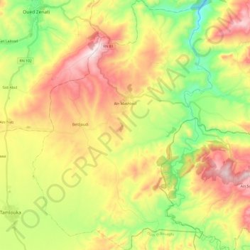
Name: Ain Makhlouf topographic map, elevation, terrain.
Location: Ain Makhlouf, Daïra Ain Makhlouf, Guelma, 24013, Algérie (36.13039 7.16119 36.32199 7.33205)
Average elevation: 2,579 ft
Minimum elevation: 1,588 ft
Maximum elevation: 3,757 ft