
Sagola Township topographic map
Interactive map
Click on the map to display elevation.
About this map
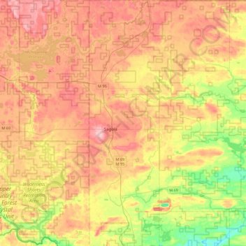
Name: Sagola Township topographic map, elevation, terrain.
Location: Sagola Township, Dickinson County, Michigan, United States (45.94253 -88.11770 46.24687 -87.86645)
Average elevation: 1,325 ft
Minimum elevation: 1,017 ft
Maximum elevation: 1,608 ft