
Sangad topographic map
Interactive map
Click on the map to display elevation.
About this map
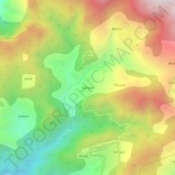
Name: Sangad topographic map, elevation, terrain.
Location: Sangad, Kanda, Bageshwar, Uttarakhand, 263640, India (29.88537 79.98025 29.92537 80.02025)
Average elevation: 6,247 ft
Minimum elevation: 4,403 ft
Maximum elevation: 8,346 ft