
Cottonwood Falls topographic map
Interactive map
Click on the map to display elevation.
About this map
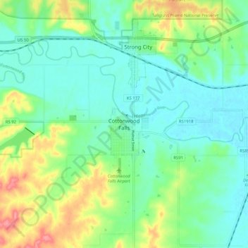
Name: Cottonwood Falls topographic map, elevation, terrain.
Location: Cottonwood Falls, Chase County, Kansas, 66869, United States (38.33224 -96.58278 38.41224 -96.50278)
Average elevation: 1,243 ft
Minimum elevation: 1,158 ft
Maximum elevation: 1,440 ft