
Ignacio Ramirez topographic map
Interactive map
Click on the map to display elevation.
About this map
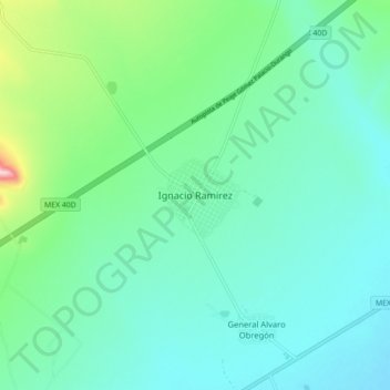
Name: Ignacio Ramirez topographic map, elevation, terrain.
Location: Ignacio Ramirez, Guadalupe Victoria, Durango, México (24.46799 -104.12829 24.54799 -104.04829)
Average elevation: 6,686 ft
Minimum elevation: 6,522 ft
Maximum elevation: 7,333 ft