Geolocate

Sordiha topographic map

Click on the map to display elevation.

About this map

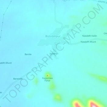
Name: Sordiha topographic map, elevation, terrain.

Location: Sordiha, Bishrampur, Palamu District, Jharkhand, India (24.22645 83.90521 24.26645 83.94521)

Average elevation: 705 ft

Minimum elevation: 627 ft

Maximum elevation: 1,476 ft

Gear up for your next adventure:

🧭Compass with Lanyard - Easy‑carry compass for navigation
🦺Reflective Outdoor Gear - Safety gear for low‑light conditions
🛏️Cold Weather Sleeping Bag - Warm sleeping bag for cold conditions
🚗GPS Dash Cams - Record your scenic drives through mountain passes and canyons
🥾Men's Hiking Boots - Durable, waterproof footwear for rugged terrain and steep inclines

As an Amazon Associate, this site earns from qualifying purchases at no extra cost to you.