
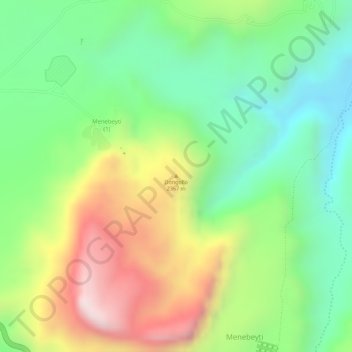
Dongollo topographic map
Interactive map
Click on the map to display elevation.
About this map
Name: Dongollo topographic map, elevation, terrain.
Location: Dongollo, Fatsi ፋጺ, Eastern Tigray, Tigray, Äthiopien (14.41980 39.38551 14.41990 39.38561)
Average elevation: 8,238 ft
Minimum elevation: 7,477 ft
Maximum elevation: 9,295 ft