
Værlandet topographic map
Interactive map
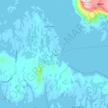
Click on the map to display elevation.
About this map
Name: Værlandet topographic map, elevation, terrain.
Location: Værlandet, Hamnen, Askvoll, Vestland, 6986, Norvège (61.28421 4.71547 61.32421 4.75547)
Average elevation: 66 ft
Minimum elevation: -13 ft
Maximum elevation: 1,345 ft