
Redjaouna Lbour topographic map
Interactive map
Click on the map to display elevation.
About this map
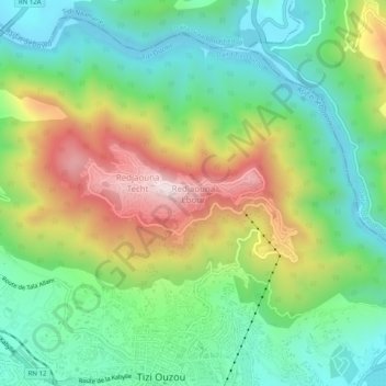
Name: Redjaouna Lbour topographic map, elevation, terrain.
Location: Redjaouna Lbour, Daïra Tizi Ouzou, Tizi Ouzou, 15131, RADP (36.71283 4.03356 36.75283 4.07356)
Average elevation: 896 ft
Minimum elevation: 148 ft
Maximum elevation: 2,238 ft