
Montim topographic map
Interactive map
Click on the map to display elevation.
About this map
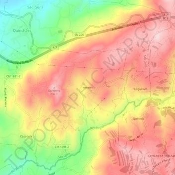
Name: Montim topographic map, elevation, terrain.
Location: Montim, Quinchães, Fafe, Braga, 4820-590, Portugal (41.40852 -8.13864 41.44852 -8.09864)
Average elevation: 1,896 ft
Minimum elevation: 1,283 ft
Maximum elevation: 2,333 ft