
Bótoa topographic map
Interactive map
Click on the map to display elevation.
About this map
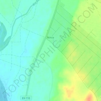
Name: Bótoa topographic map, elevation, terrain.
Location: Bótoa, Tierra de Badajoz, Badajoz, Estrémadure, Espagne (38.98541 -6.91647 39.01153 -6.88970)
Average elevation: 614 ft
Minimum elevation: 571 ft
Maximum elevation: 692 ft