
Pondok Pucung topographic map
Interactive map
Click on the map to display elevation.
About this map
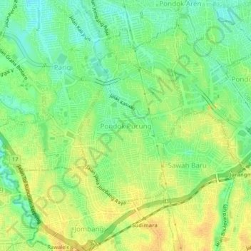
Name: Pondok Pucung topographic map, elevation, terrain.
Location: Pondok Pucung, Pondok Aren, Banten, Java, 15229, Indonesia (-6.30214 106.68961 -6.26214 106.72961)
Average elevation: 115 ft
Minimum elevation: 66 ft
Maximum elevation: 154 ft