
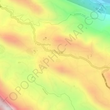
Pond at Kesavan Purayidom, Kanjikuzhy topographic map
Interactive map
Click on the map to display elevation.
About this map
Name: Pond at Kesavan Purayidom, Kanjikuzhy topographic map, elevation, terrain.
Location: Pond at Kesavan Purayidom, Kanjikuzhy, Idukki, Kerala, India (9.95154 76.93486 9.95166 76.93498)
Average elevation: 2,096 ft
Minimum elevation: 689 ft
Maximum elevation: 3,209 ft
Other topographic maps
Click on a map to view its topography, its elevation and its terrain.
chithirapuram
chithirapuram, Devikulam, Idukki, Kerala, India
Average elevation: 3,084 ft
Western Ghats
Western Ghats, Idukki, Kerala, 685614, India
Average elevation: 7,300 ft
Meesapulimala
Meesapulimala, Idukki, Kerala, 685618, India
Average elevation: 7,287 ft