
Saue vald topographic map
Interactive map
Click on the map to display elevation.
About this map
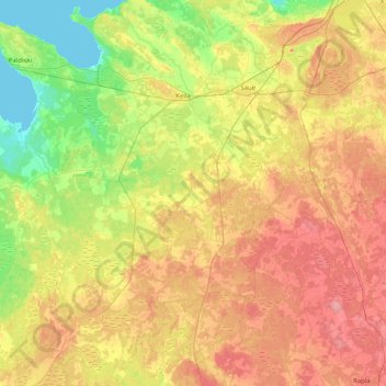
Name: Saue vald topographic map, elevation, terrain.
Location: Saue vald, Kreis Harrien, Estland (59.00010 24.07501 59.41291 24.66490)
Average elevation: 128 ft
Minimum elevation: 0 ft
Maximum elevation: 282 ft
Other topographic maps
Click on a map to view its topography, its elevation and its terrain.
Lodensee
Lodensee, Lääne-Harju vald, Kreis Harrien, 76703, Estland
Average elevation: 56 ft
Neeme küla
Neeme küla, Jõelähtme vald, Kreis Harrien, 74226, Estland
Average elevation: 10 ft
Lõunaküla / Storbyn
Lõunaküla / Storbyn, Viimsi vald, Kreis Harrien, 74022, Estland
Average elevation: 39 ft
Hiiu
Estland > Kreis Harrien > Tallinn
Hiiu, Nömme, Tallinn, Stadtgemeinde Reval, Kreis Harrien, Estland
Average elevation: 164 ft
Lääne-Harju vald
Lääne-Harju vald, Kreis Harrien, Estland
Average elevation: 75 ft
Tallinn
Tallinn, Stadtgemeinde Reval, Kreis Harrien, Estland
Average elevation: 52 ft