
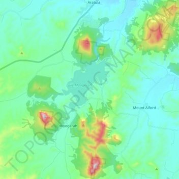
Moogerah Peaks National Park topographic map
Interactive map
Click on the map to display elevation.
About this map
Name: Moogerah Peaks National Park topographic map, elevation, terrain.
Average elevation: 702 ft
Minimum elevation: 305 ft
Maximum elevation: 2,454 ft
Other topographic maps
Click on a map to view its topography, its elevation and its terrain.