
Flynn topographic map
Interactive map
Click on the map to display elevation.
About this map
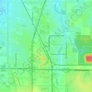
Name: Flynn topographic map, elevation, terrain.
Location: Flynn, Oklahoma County, Oklahoma, 73149, United States (35.38173 -97.50754 35.42173 -97.46754)
Average elevation: 1,276 ft
Minimum elevation: 1,207 ft
Maximum elevation: 1,427 ft