
Marloth Nature Reserve topographic map
Interactive map
Click on the map to display elevation.
About this map
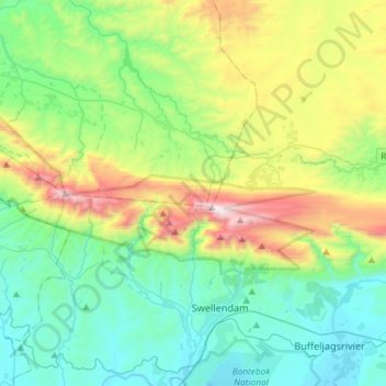
Name: Marloth Nature Reserve topographic map, elevation, terrain.
Average elevation: 1,647 ft
Minimum elevation: 177 ft
Maximum elevation: 5,574 ft