
Ouled Khoudir topographic map
Interactive map
Click on the map to display elevation.
About this map
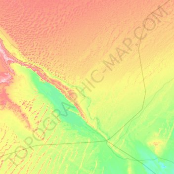
Name: Ouled Khoudir topographic map, elevation, terrain.
Location: Ouled Khoudir, Daïra de Ouled Khoudir, Béni Abbès, Algérie (28.97231 -1.88517 29.65977 -0.64036)
Average elevation: 1,309 ft
Minimum elevation: 886 ft
Maximum elevation: 2,103 ft