
Petrovaradin topographic map
Interactive map
Click on the map to display elevation.
About this map
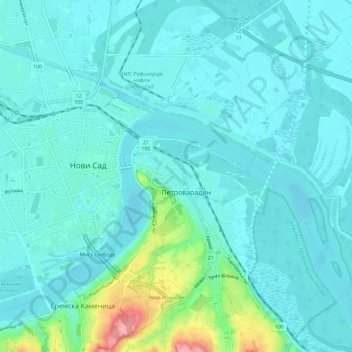
Name: Petrovaradin topographic map, elevation, terrain.
Average elevation: 295 ft
Minimum elevation: 230 ft
Maximum elevation: 696 ft
Petrovaradin is located in the Syrmia region, on the Danube river and Fruška Gora, a horst mountain with elevation of 78–220 m (municipality up to 451 m). The northern part of Fruška Gora consists of massive landslide zones, but they are not active, except in Ribnjak neighborhood (between Sremska Kamenica and Petrovaradin fortress).