
Troutbeck topographic map
Interactive map
Click on the map to display elevation.
About this map
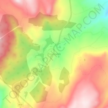
Name: Troutbeck topographic map, elevation, terrain.
Location: Troutbeck, Nyanga, Manicaland, Zimbabwe (-18.20445 32.79083 -18.16445 32.83083)
Average elevation: 6,896 ft
Minimum elevation: 6,093 ft
Maximum elevation: 7,520 ft