
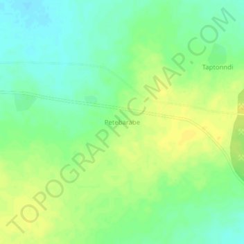
Petebarabe topographic map
Interactive map
Click on the map to display elevation.
About this map
Name: Petebarabe topographic map, elevation, terrain.
Location: Petebarabe, Falagountou, Séno, Sahel, Burkina Faso (14.35348 0.10440 14.39348 0.14440)
Average elevation: 869 ft
Minimum elevation: 830 ft
Maximum elevation: 902 ft