
Villagrande topographic map
Interactive map
Click on the map to display elevation.
About this map
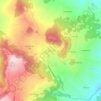
Name: Villagrande topographic map, elevation, terrain.
Location: Villagrande, Montecopiolo, Pesaro e Urbino, Marche, Italia (43.82023 12.33918 43.86023 12.37918)
Average elevation: 2,871 ft
Minimum elevation: 1,893 ft
Maximum elevation: 3,894 ft