Geolocate

Carindale topographic map

Click on the map to display elevation.

About this map

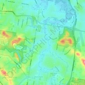
Name: Carindale topographic map, elevation, terrain.

Location: Carindale, Brisbane City, Queensland, Australia (-27.53637 153.09728 -27.48652 153.12578)

Average elevation: 112 ft

Minimum elevation: 3 ft

Maximum elevation: 413 ft

Other topographic maps

Click on a map to view its topography, its elevation and its terrain.

Willmington Park

Australia > Queensland > Brisbane City

Average elevation: 121 ft

Mount Gravatt

Australia > Queensland > Brisbane City

Average elevation: 230 ft

Ithaca

Australia > Queensland > Brisbane City > Ithaca

Average elevation: 102 ft

Gear up for your next adventure:

📦Gear Storage Bags - Organize and protect outdoor equipment
🏕️Tent Footprint - Protect your tent base from wear
🏥Hiking First Aid Kits - Comprehensive medical kits for remote trail injuries
🛡️Bear Spray Outdoor - Protection in bear country hikes
🦟Ultrasonic Repellers - Create a bug-free zone at your camp or rest stop

As an Amazon Associate, this site earns from qualifying purchases at no extra cost to you.