
Marble Hill topographic map
Interactive map
Click on the map to display elevation.
About this map
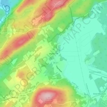
Name: Marble Hill topographic map, elevation, terrain.
Location: Marble Hill, Warren County, New Jersey, 07838, United States (40.86593 -74.95489 40.90593 -74.91489)
Average elevation: 686 ft
Minimum elevation: 387 ft
Maximum elevation: 1,145 ft