
Magalhã topographic map
Interactive map
Click on the map to display elevation.
About this map
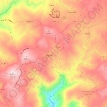
Name: Magalhã topographic map, elevation, terrain.
Location: Magalhã, Andrães, Vila Real, Douro, Nord, 5000-034, Portugal (41.22183 -7.67262 41.26183 -7.63262)
Average elevation: 1,955 ft
Minimum elevation: 1,047 ft
Maximum elevation: 2,362 ft