Geolocate

Alaska Range topographic map

Click on the map to display elevation.

About this map

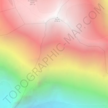
Name: Alaska Range topographic map, elevation, terrain.

Location: Alaska Range, Denali Borough, Alaska, United States (63.05995 -151.00805 63.06005 -151.00795)

Average elevation: 16,654 ft

Minimum elevation: 11,388 ft

Maximum elevation: 20,243 ft

Denali Borough trails, hiking, mountain biking, running and outdoor activities

Other topographic maps

Click on a map to view its topography, its elevation and its terrain.

Foraker Glacier

United States > Alaska > Denali Borough

Average elevation: 6,890 ft

Denali Park

United States > Alaska > Denali Borough

Average elevation: 3,445 ft

Cantwell

United States > Alaska > Denali Borough

Average elevation: 3,622 ft

Anderson

United States > Alaska > Denali Borough

Average elevation: 561 ft

Cantwell

United States > Alaska > Denali Borough

Average elevation: 3,622 ft

Anderson

United States > Alaska > Denali Borough

Average elevation: 561 ft

Cantwell

United States > Alaska > Denali Borough

Average elevation: 3,622 ft

Gear up for your next adventure:

🪶Trail Camera - Capture wildlife on your hikes
🔌Solar Panel Charger - Charge gear sustainably outdoors
📚Navigation Handbooks - Master the art of reading topographic maps and using a compass
🪶Camp Gear Gift Set - Perfect gift bundle for outdoor fans
🧭GPS Watch Accessories - Bands and chargers for GPS watches

As an Amazon Associate, this site earns from qualifying purchases at no extra cost to you.